Saïssi
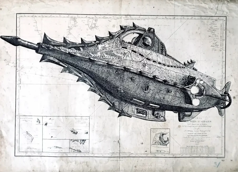
India ink on nautical chart, 70 x 110 cm, 2020Southern Seas, 1842
Paintings
Nautical charts
Ink on books
Charcoals
Engravings & structures
Bio & statement
Studio Notes
Exhibitions
Press
Store
Certificates
Terms and Conditions
Contact
Newsletter
Archive critique
My Account
Mentions legales
Instagram
Facebook
Youtube